


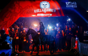


100M
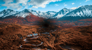
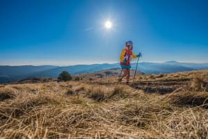
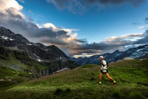
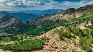
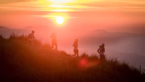
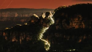
With approximately 21,000’ of vertical gain that includes monster climbs and the solitude of single-track ridge running, the Grindstone 100-mile race is considered by many to be the most incredible ‘hundo’ east of the 100th meridian.
Race Category

Running Stones
Finals Access


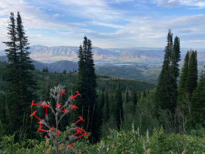
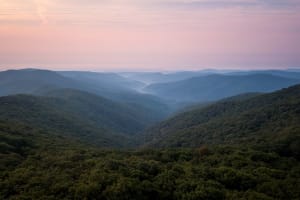
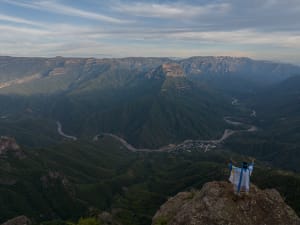
Course Description
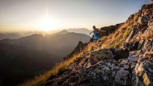
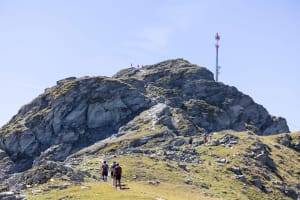
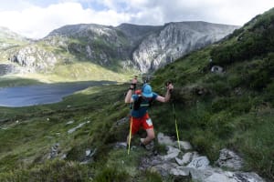
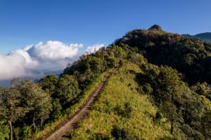
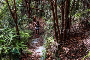
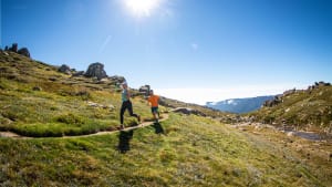
From the beautiful start/finish location at the historic Natural Chimneys, the course eases you in before reaching the top of Narrow Back Mtn along the scenic ridge and down buttery single-track to connect to the Wolf Ridge aid station. From there you begin your first monster climb up Wolf Ridge to Reddish Knob, over to Little Bald Knob before jumping on the iconic Wild Oak National Recreation Trail and following it over Grindstone Mtn, Lookout Mtn, Hankey Mtn and down some of the sweetest single-track to Dowells Draft. From there, the course travels south over Crawford Knob before climbing the brutal Elliott’s Knob to the course’s highest elevation, only to drop 2000’ in 2 miles down Cold Springs Trail. Take the Cold Springs forest access, returning up and over Crawford Knob, through Dowells Draft to Hankey Mtn and descend the old-school flow of Magic Moss. Continuing on the short gravel section is a welcome reprieve before the steep Horse Trough climb takes you up and over, rejoining the Wild Oak Trail and back to North River Gap. Meander your way up and over Narrow Back Mtn again via the Tillman Trail and cruise back down Lick Run to finish right in front of the towering limestone chimneys.
*Courses are subject to change.
Her Plus Grindstone
More women belong on the Grindstone 100M start line. Through the Her Plus Grindstone Mentorship Program, one woman or nonbinary runner will be selected to receive personalized guidance, course and race-planning support, and on-site crewing during race weekend to help make the journey to 100 miles feel more approachable and supported. Applications close August 2, 2026.


Mandatory Trail Stewardship
A minimum of 8 hours of trail work is required for all 100-Mile entrants. Trail work may be completed locally, meaning wherever you live or regularly train. All trail work must take place within the calendar year of the event, and the Trail Work form must be submitted by September 1, 2026.
GPX File
Download the 100 Mile course GPX file below. Remember to ALWAYS follow course markings on the day of the race, as there might be slight alterations from the Course Maps and GPX File.
Your recorded distance may vary from our reported distance by as much as +/- one mile due to your device recording interval, the terrain, and dense tree canopy cover.
Last updated: 06/30/2025
Revision History
- Added elevation data


